


Shipping:
Free Shipping Included
Delivery:
Estimated 2-15 Business Days
Payments:
Credit Card, Check, Cash, PayPal, Apple Pay, Venmo
Returns:
30 Days 100% Money Back Guarantee, Buyer Pays Return Shipping
Description
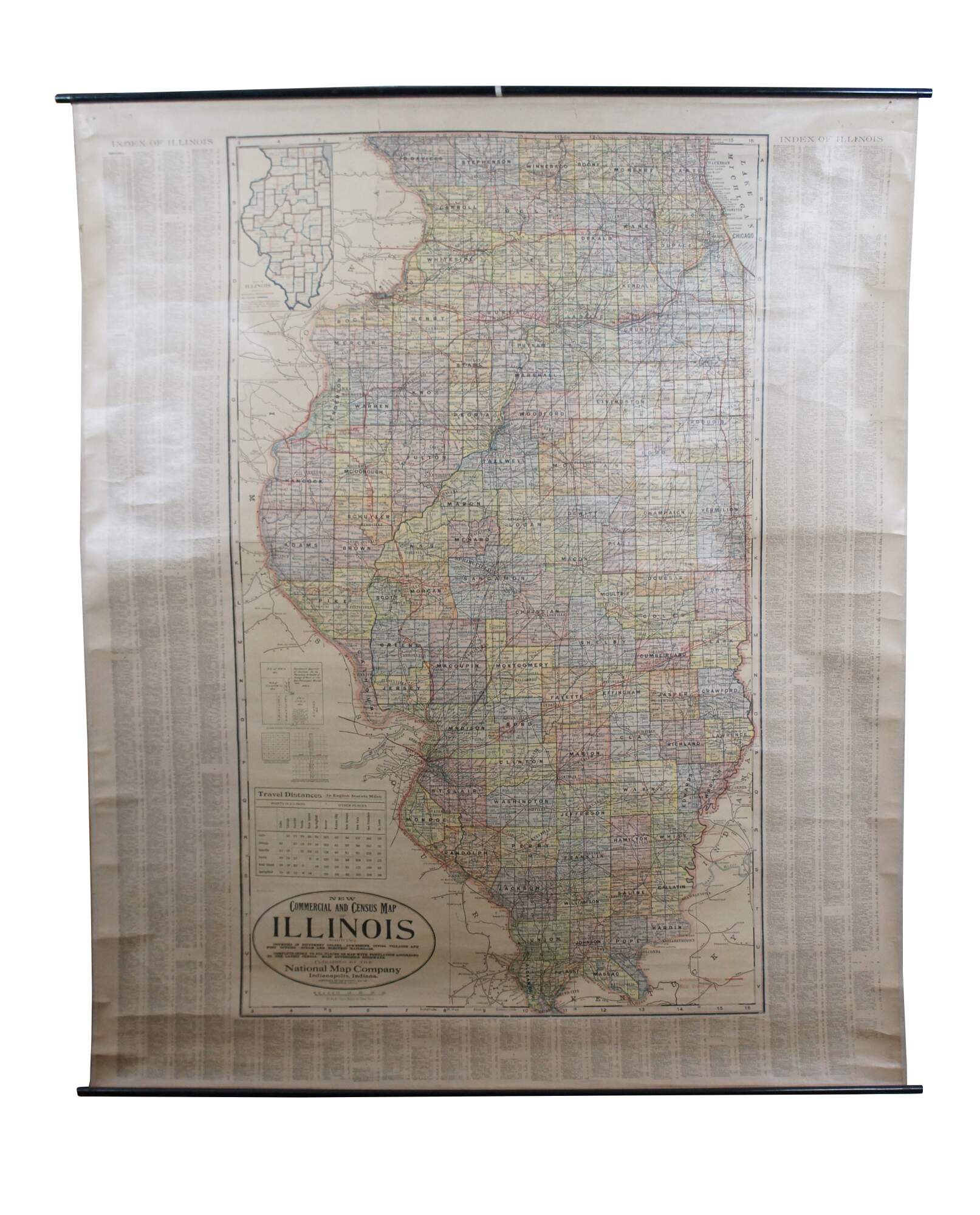
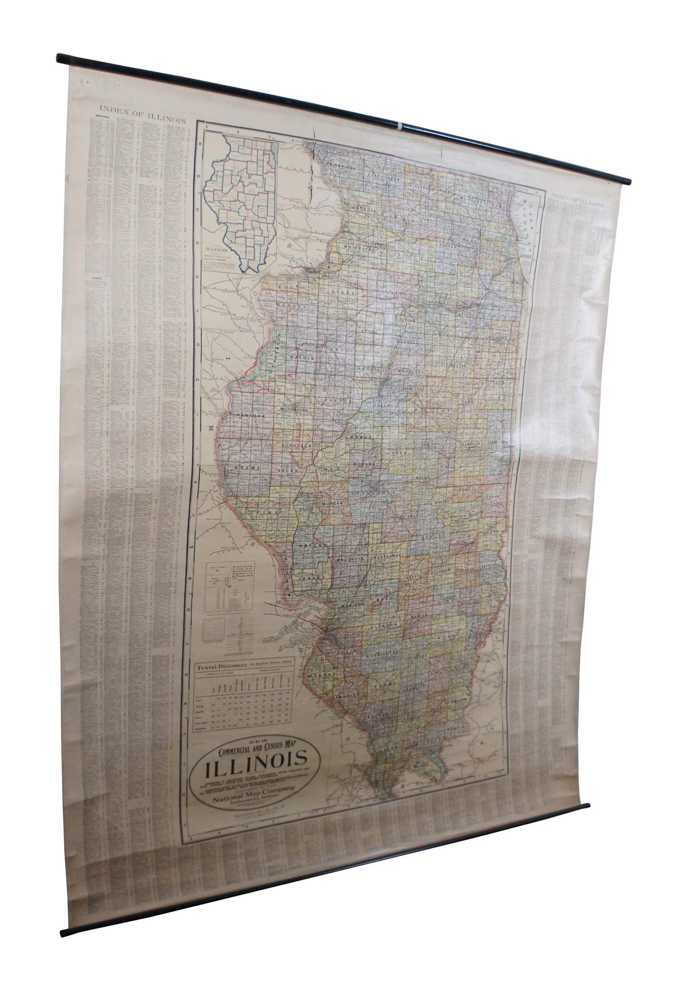
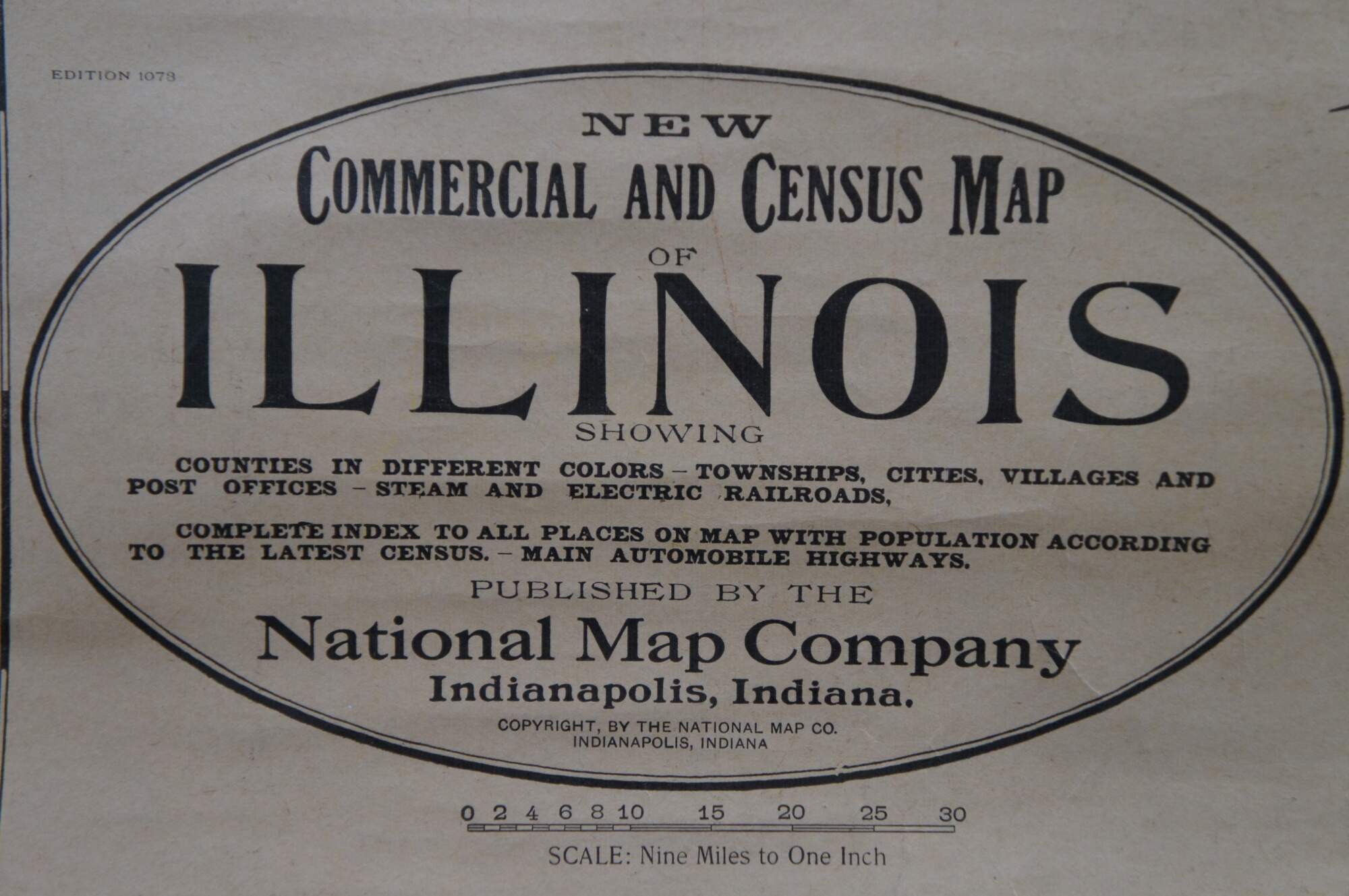
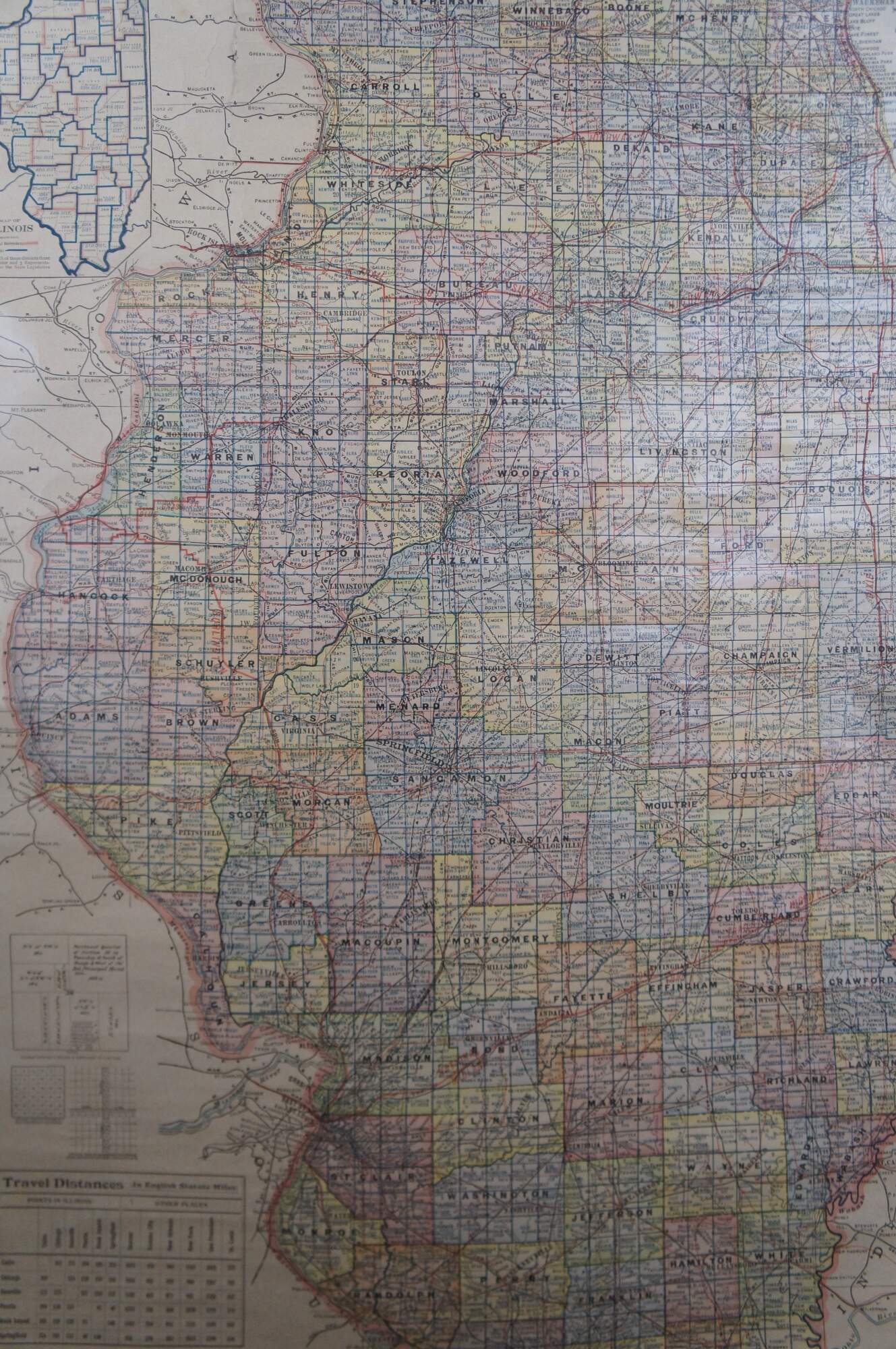
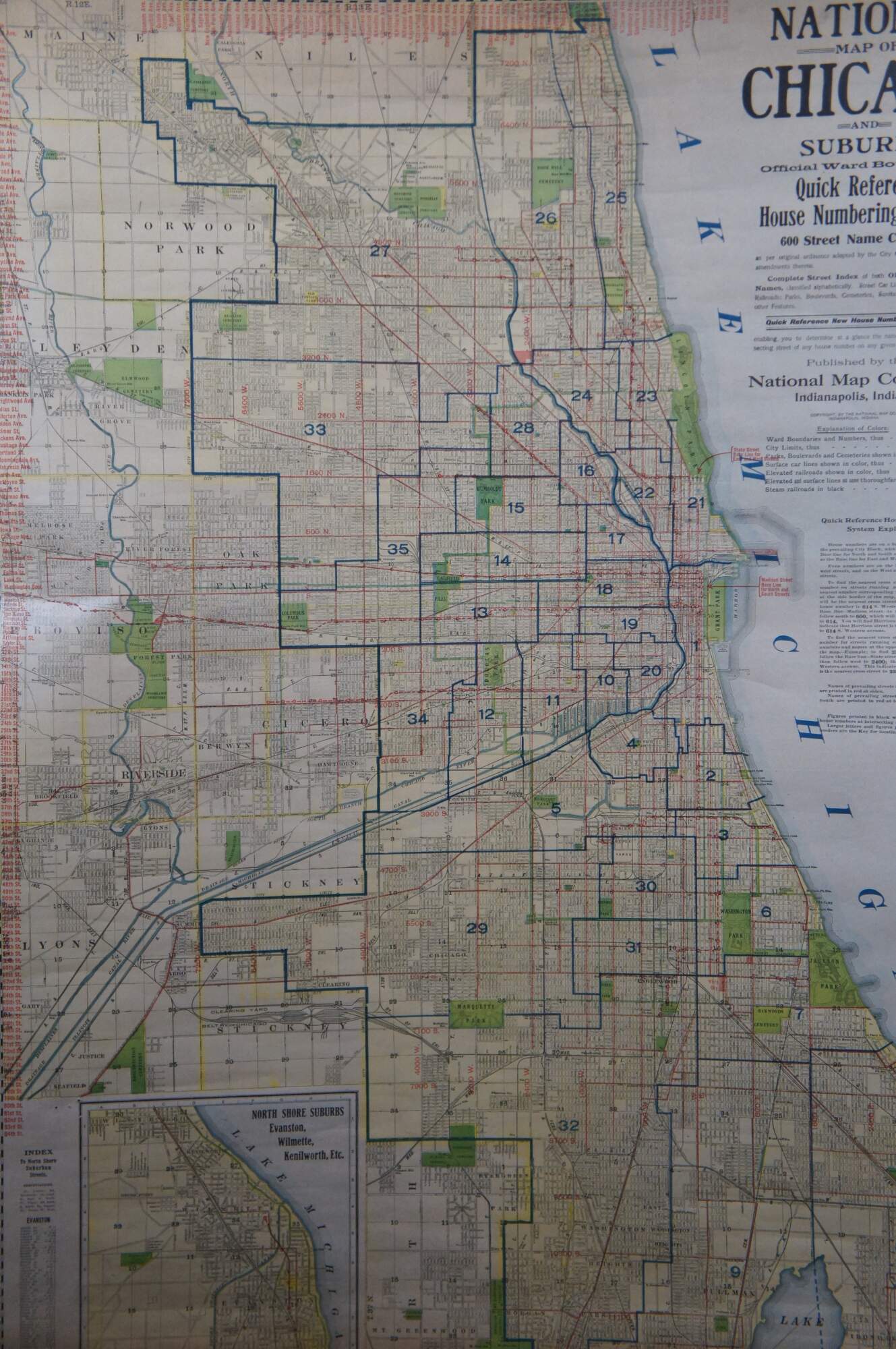
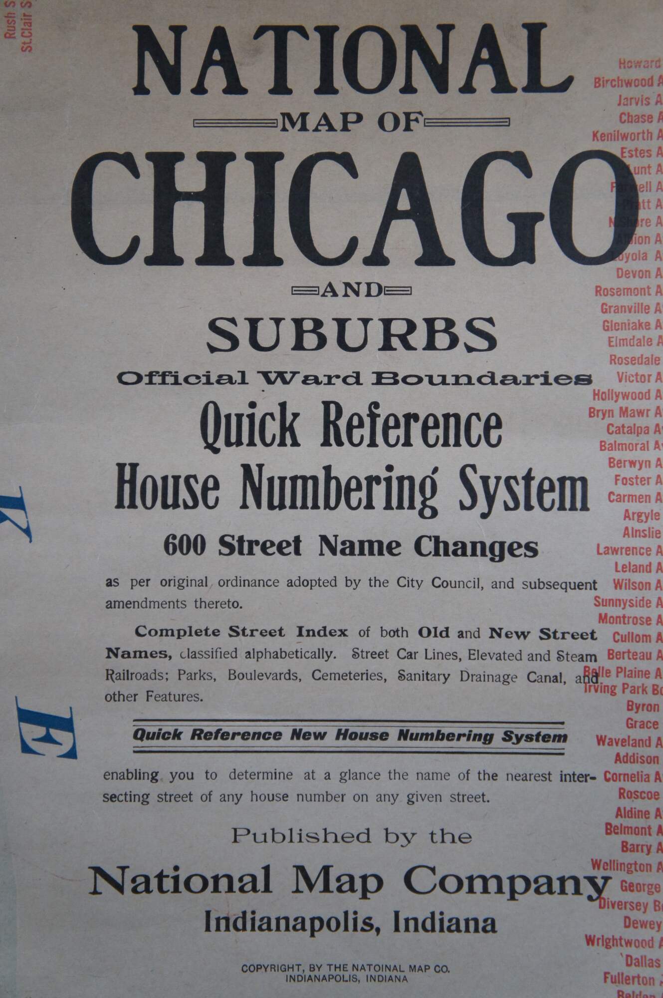
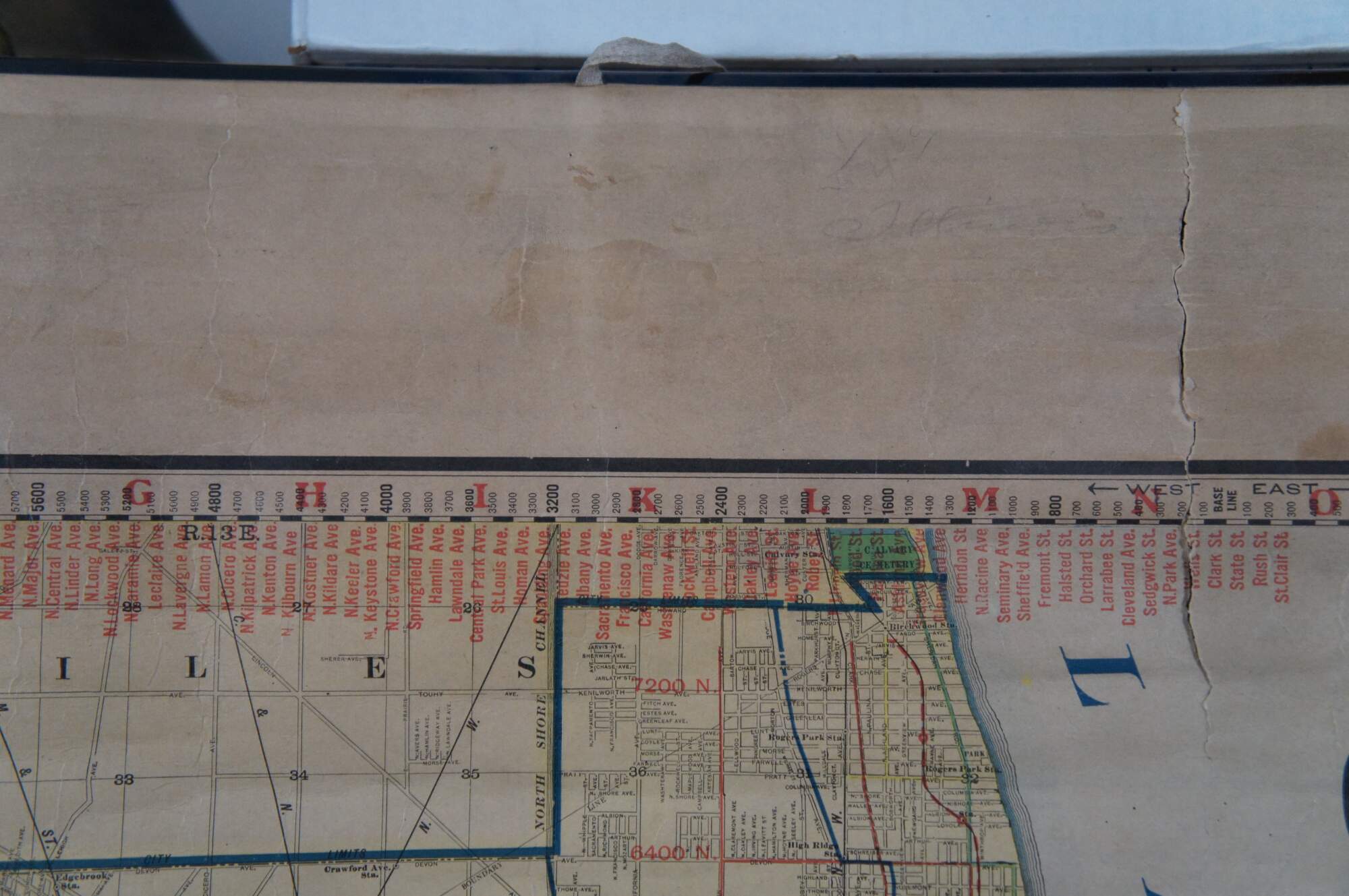
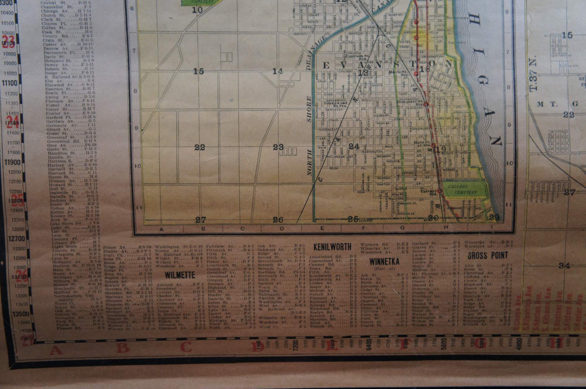
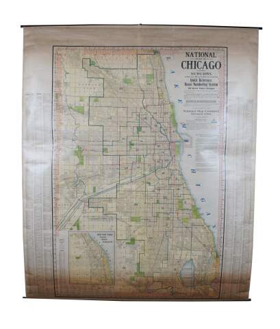
Antique early to mid 20th century double sided hanging map titled the New Commercial and Census Map of Illinois, Edition 1073. Verso shows the National Map of Chicago and Suburbs - Official Ward Boundaries - Quick Reference House Numbering System etc. Published by the National Map Company, Indianapolis, IN. Paper map with linen trim, suspended from rolled metal poles at upper and lower edge.
Condition
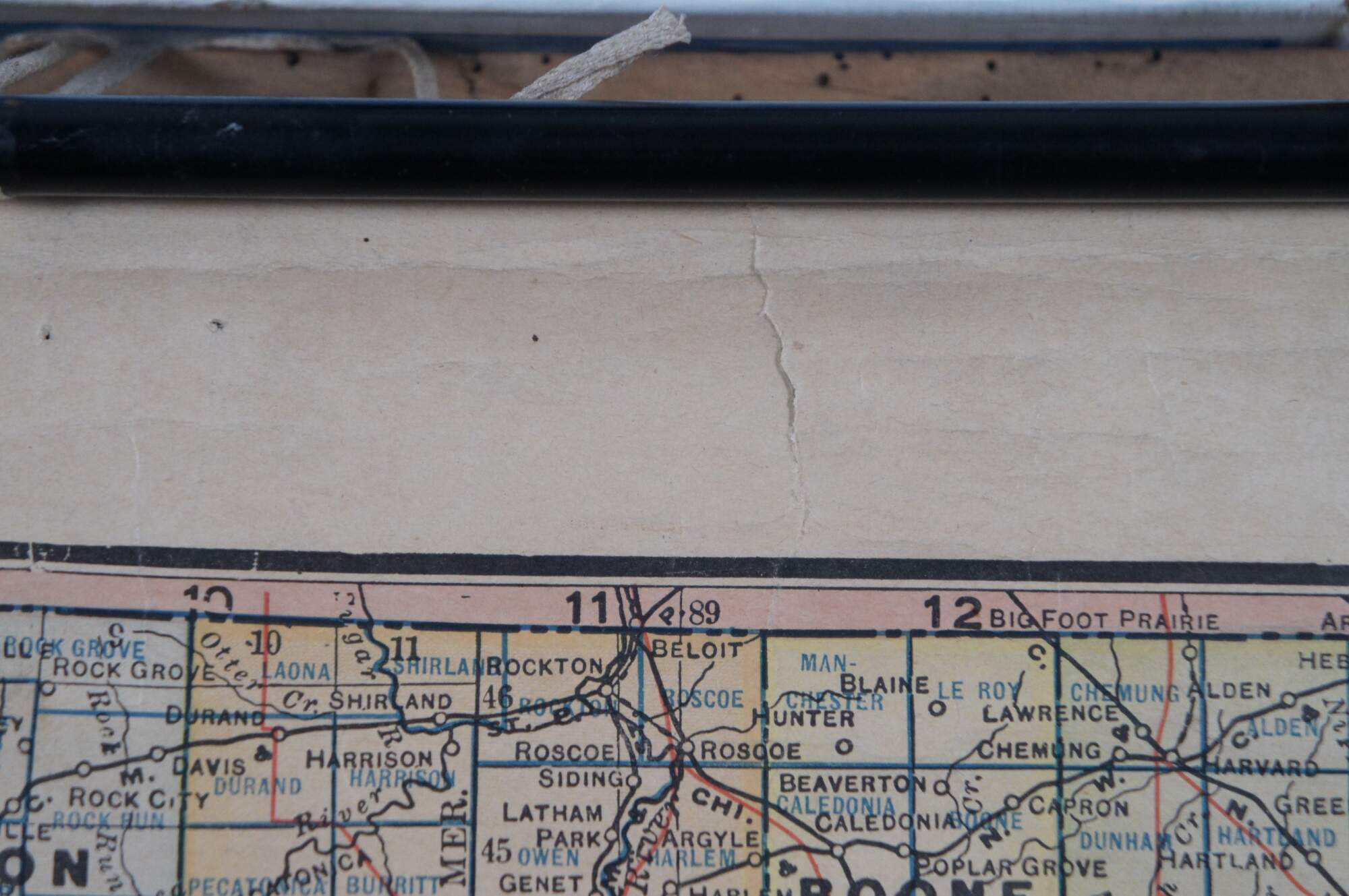
Good Overall - Discoloration throughout; couple tears at upper edge
Dimensions
41” x 0.5” x 47” (Width x Depth x Height)