


Shipping:
Free Shipping Included
Delivery:
Estimated 2-15 Business Days
Payments:
Credit Card, Check, Cash, PayPal, Apple Pay, Venmo
Returns:
30 Days 100% Money Back Guarantee, Buyer Pays Return Shipping
Description
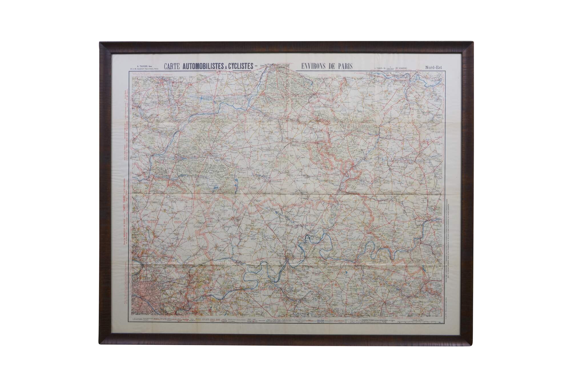
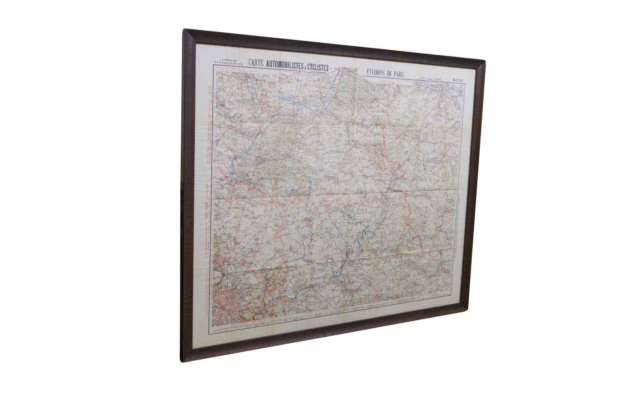
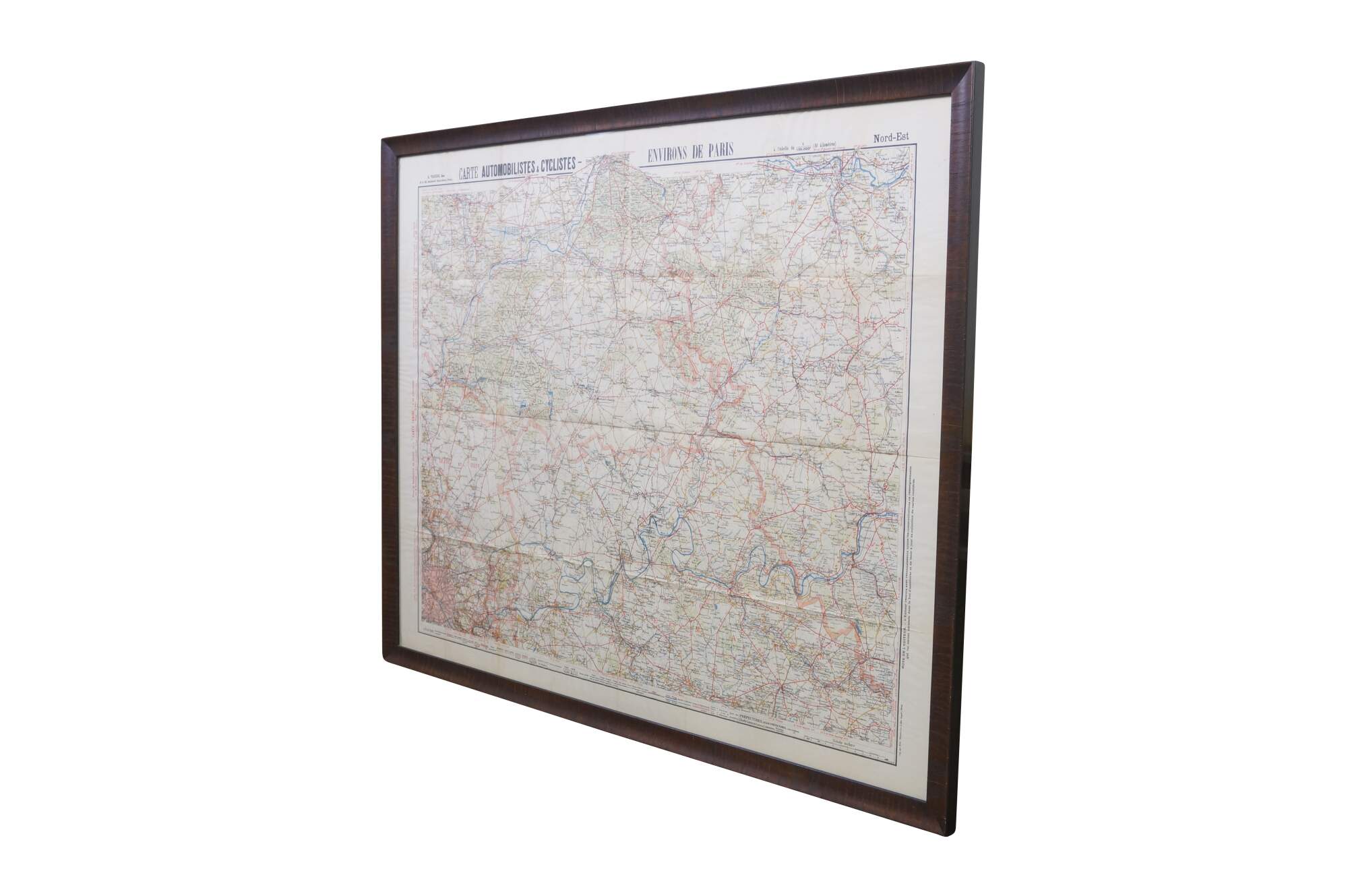
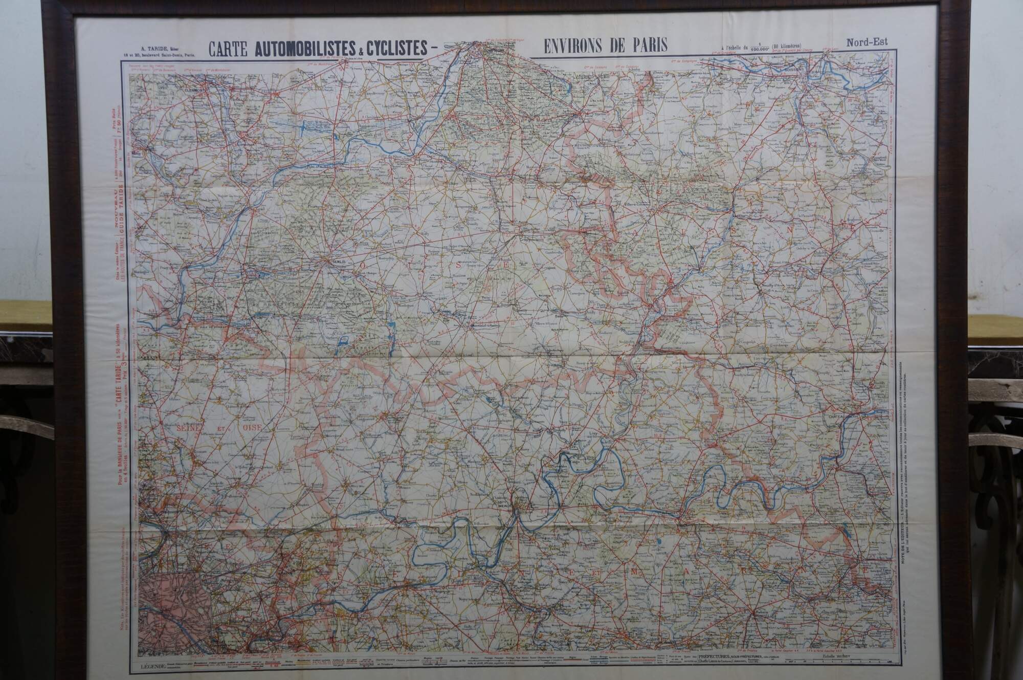
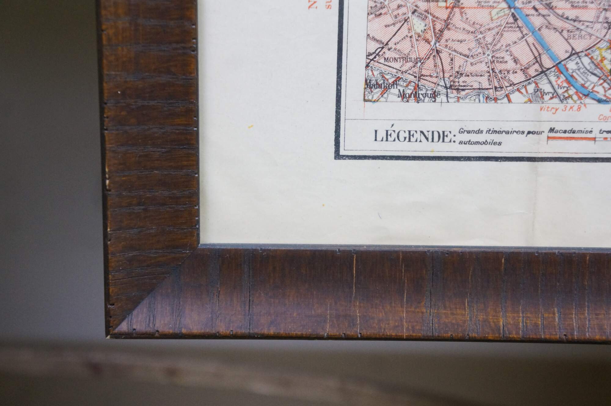
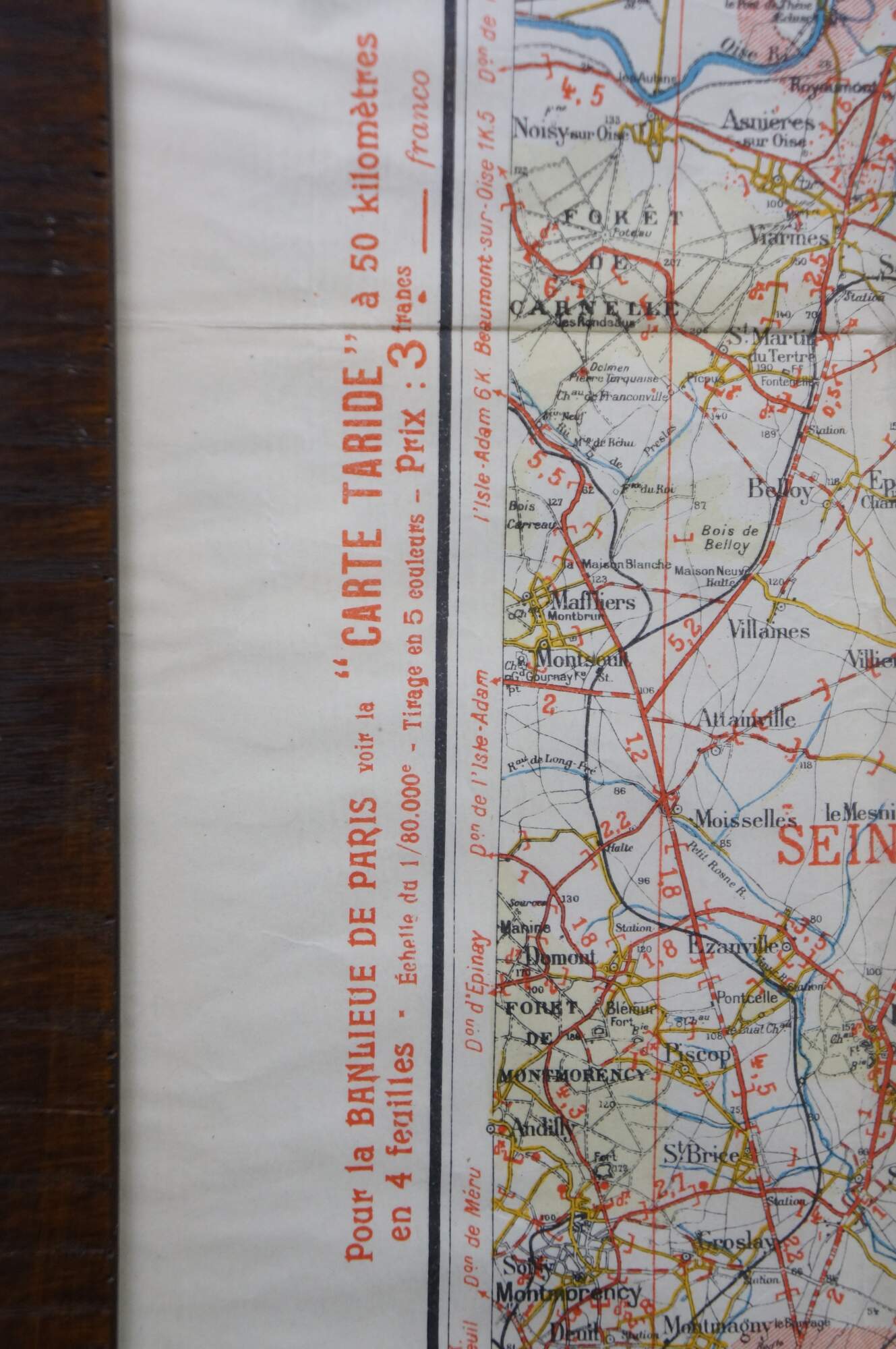
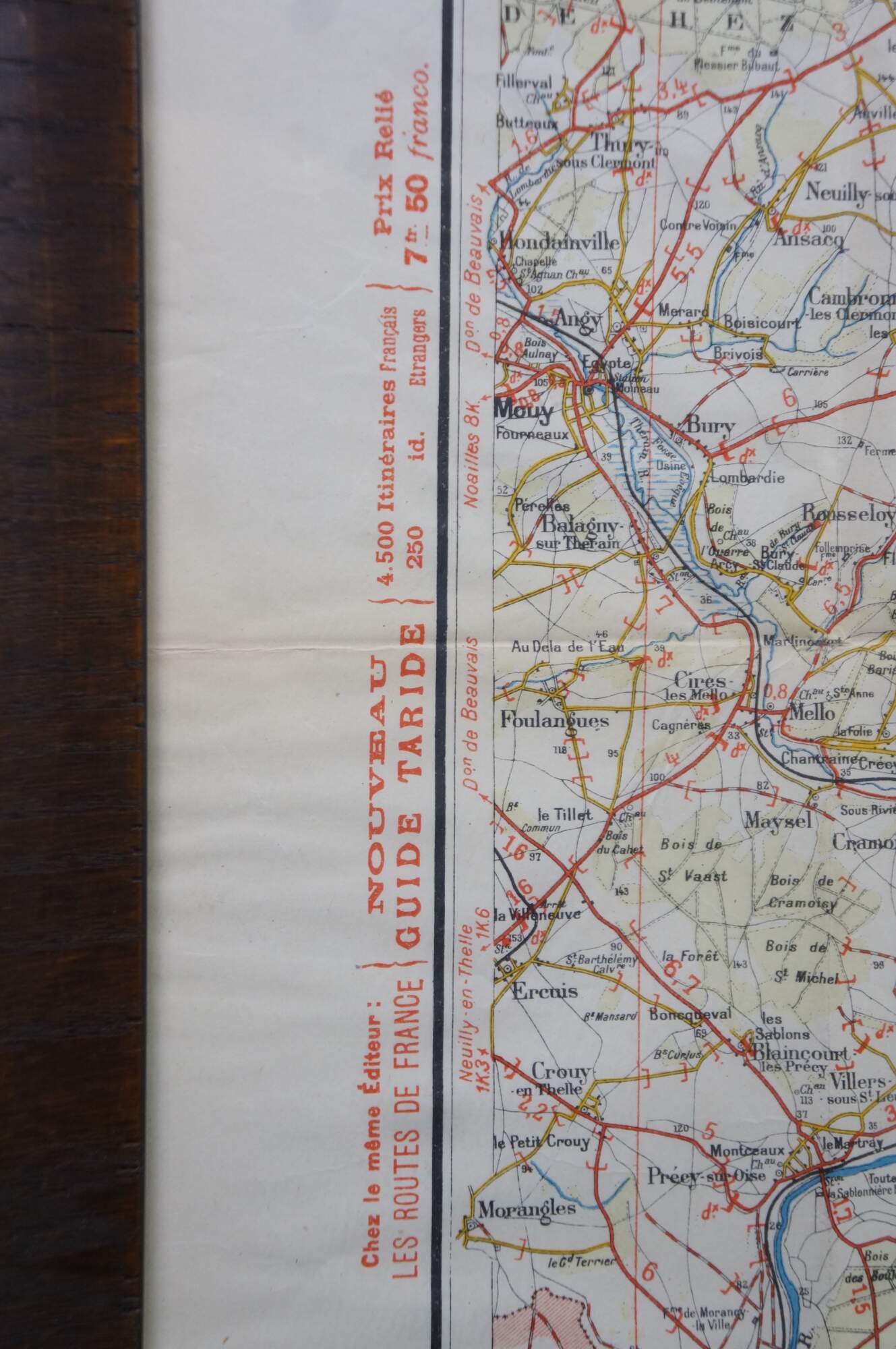
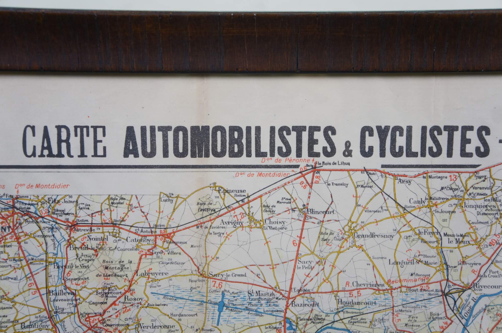
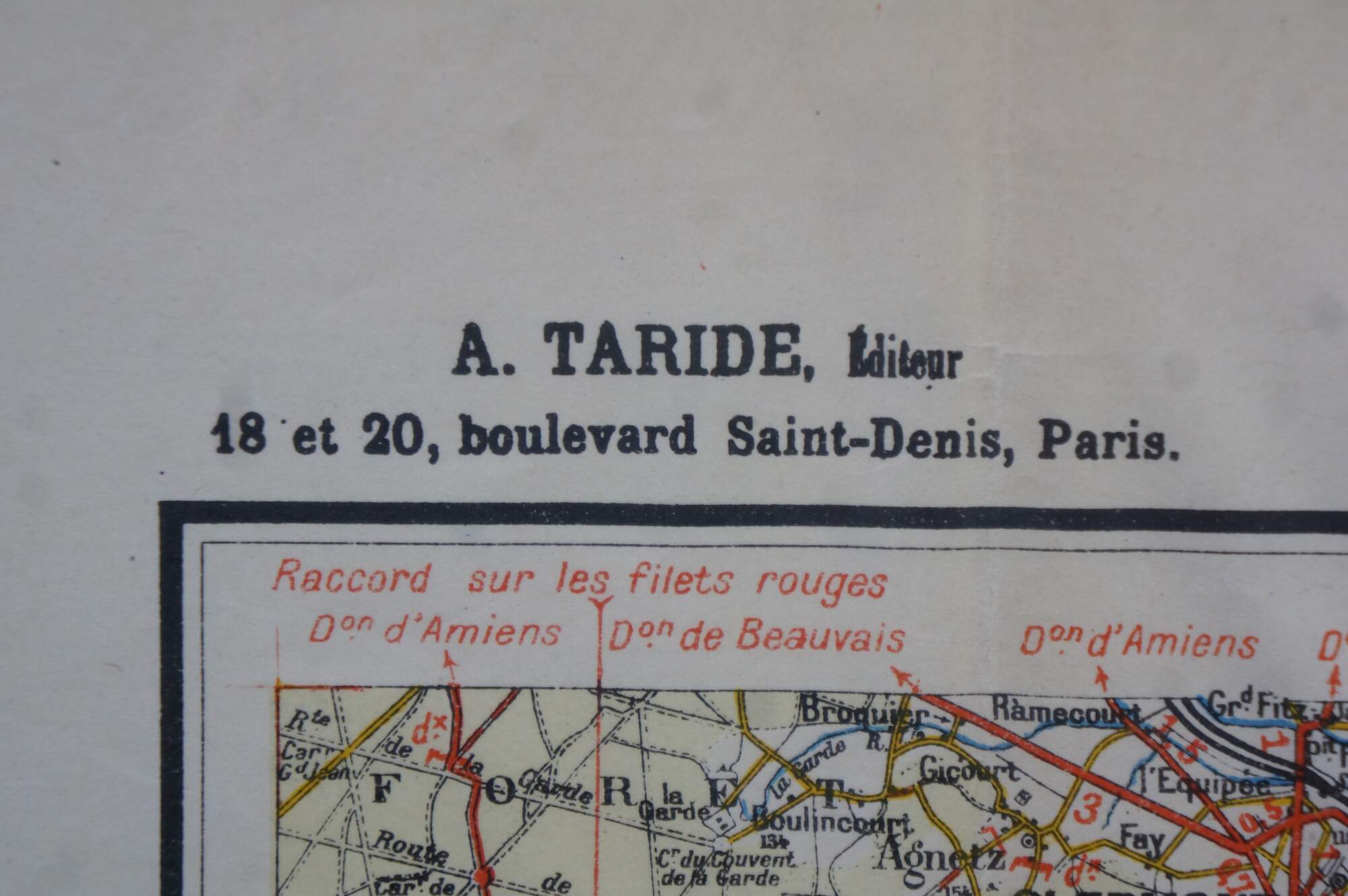
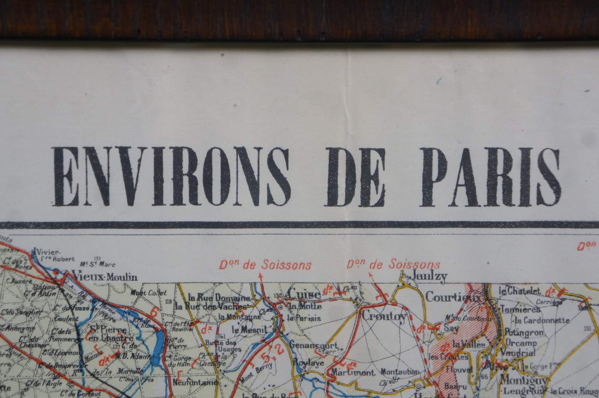
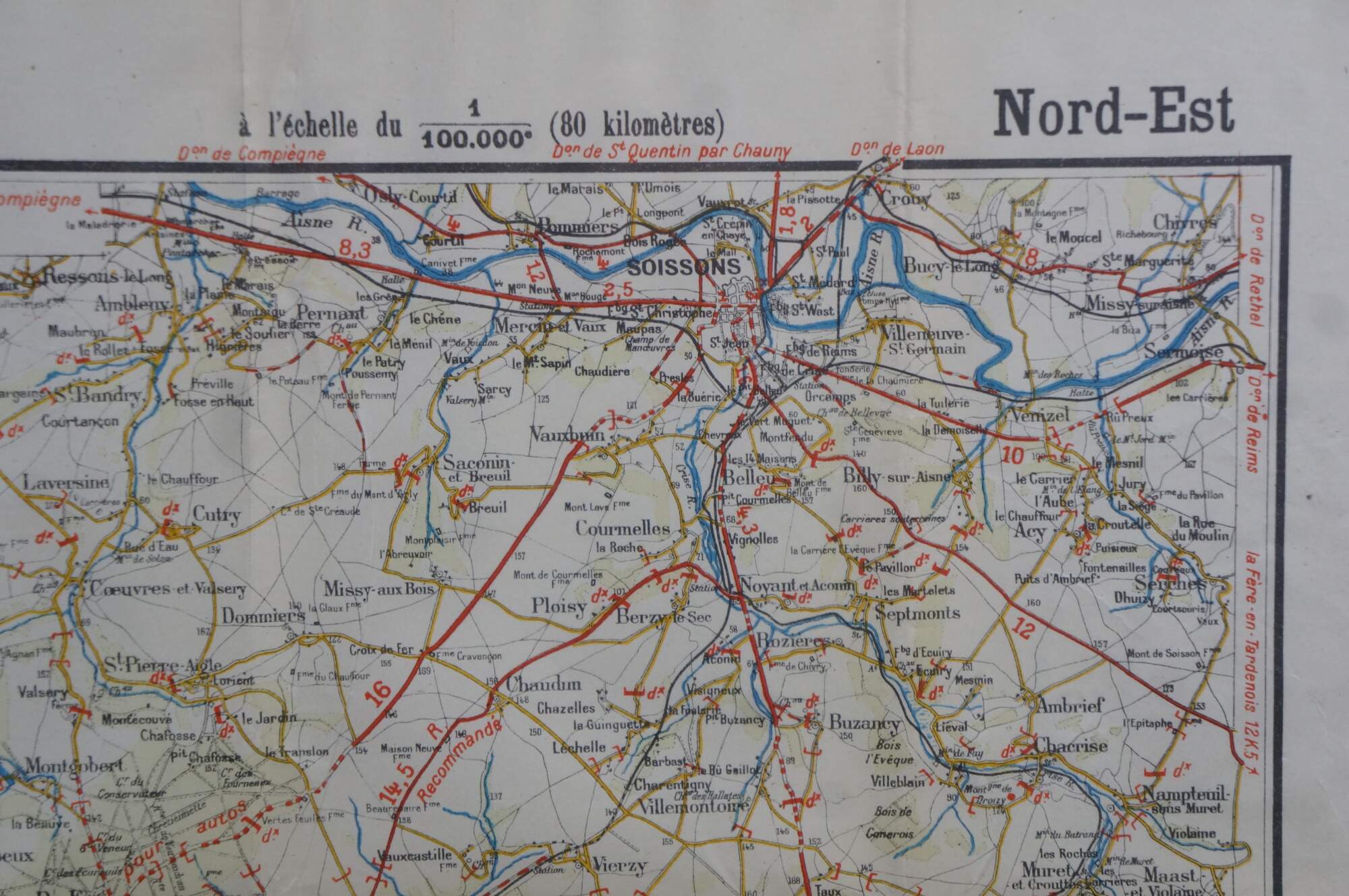
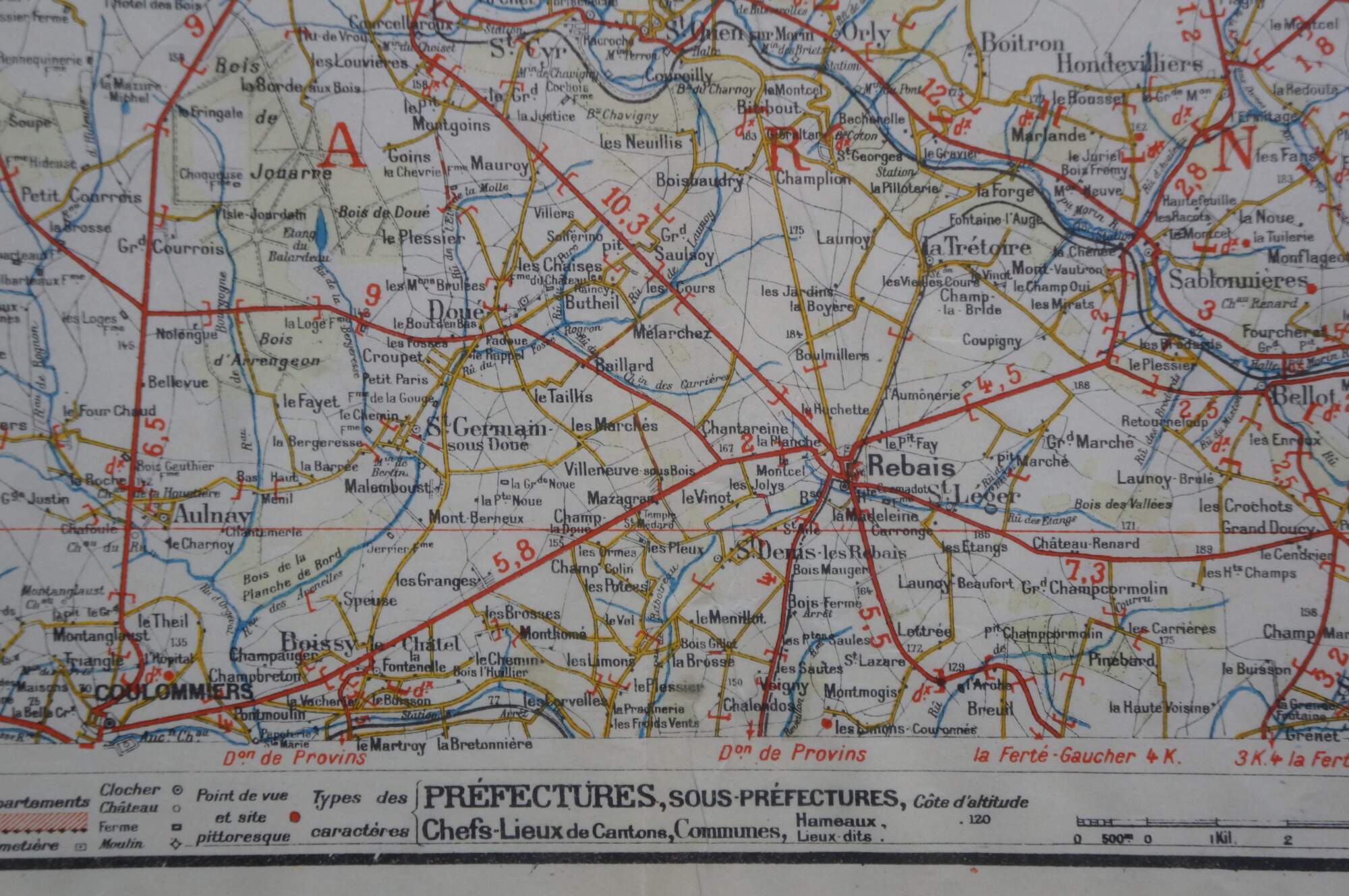
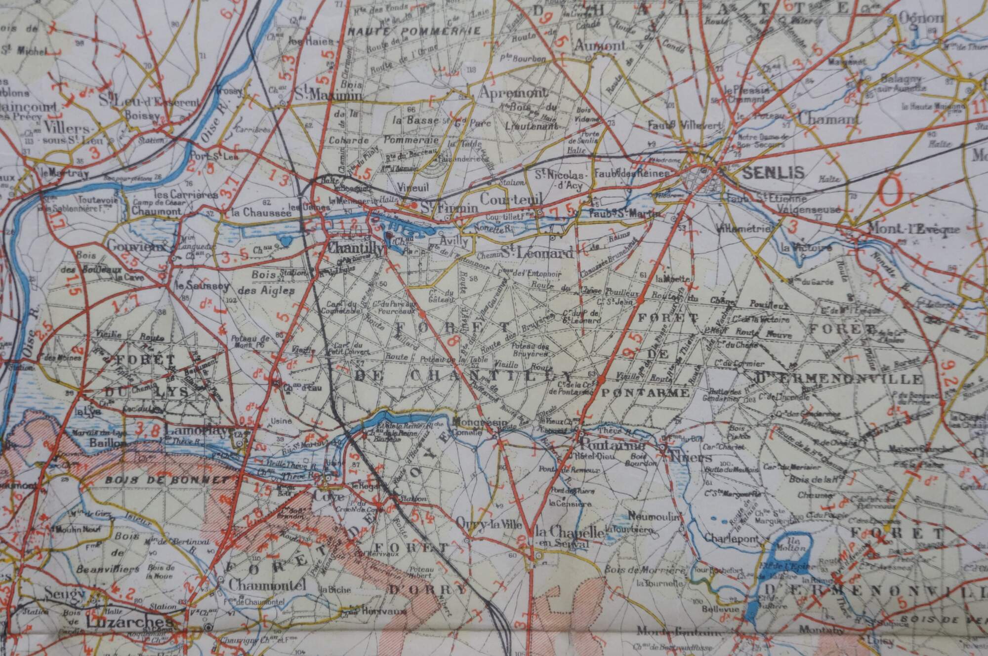
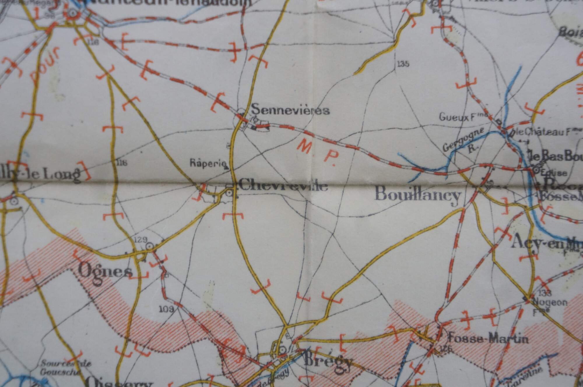
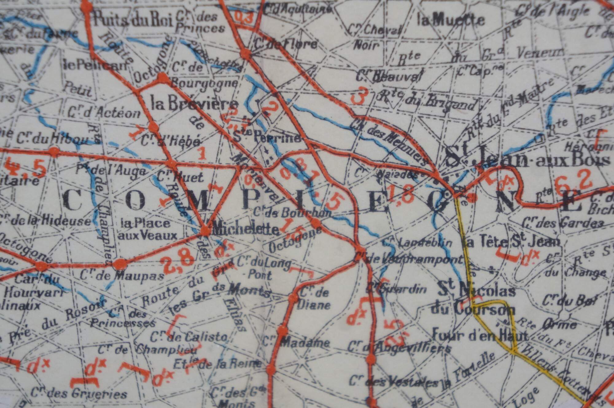
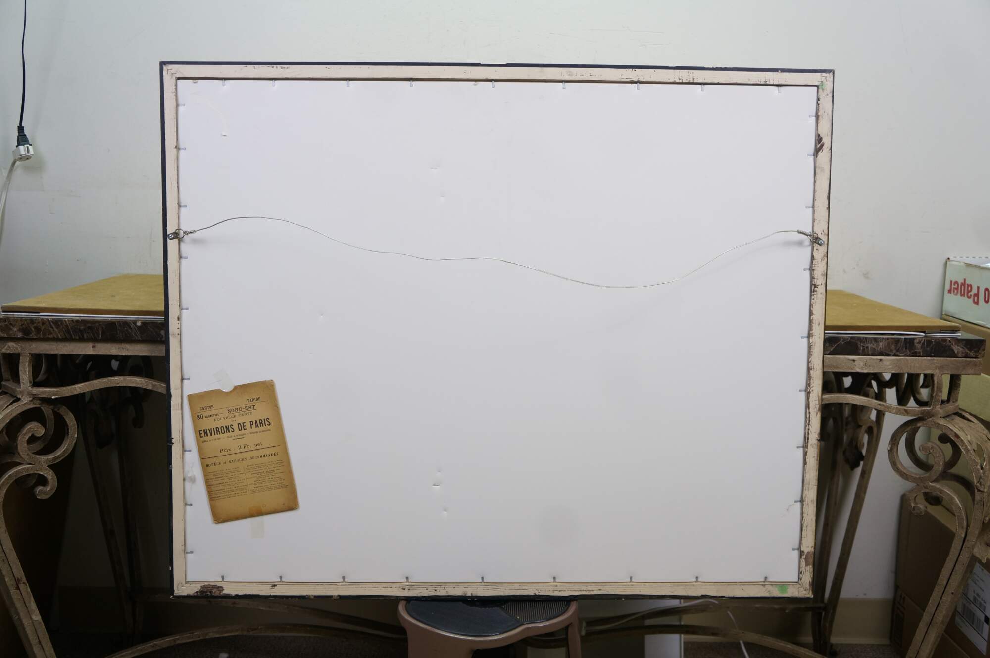
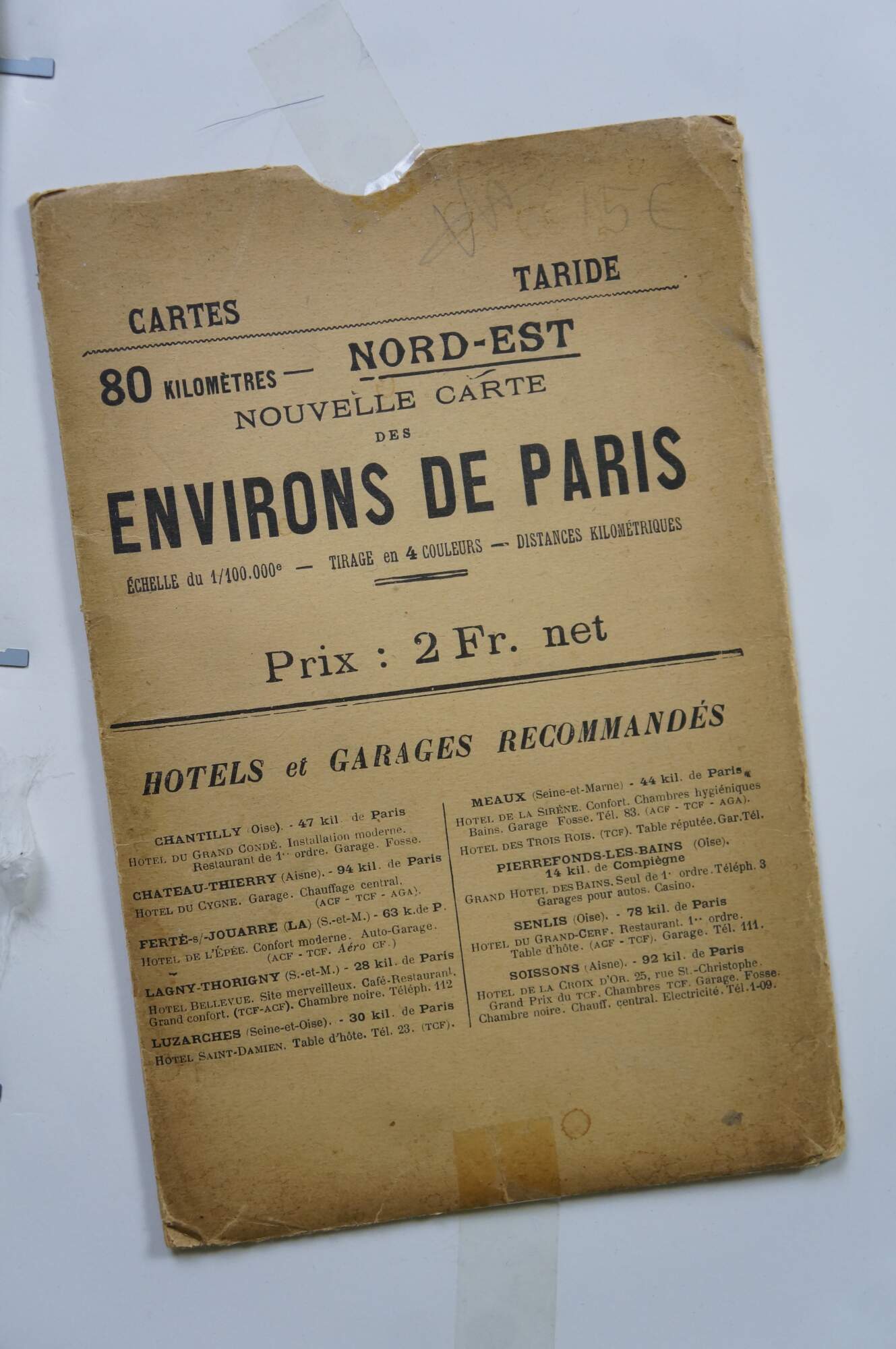
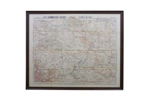
Antique ephemera road map titled Carte Automobilistes & Cyclists – Environs de Paris (Nord-Est), published by the renowned French cartographer A. Taride. Includes original folding storage pocket.
Produced around 1910 in Paris, these folding maps were specifically designed to assist early motorists / cars / trucks and cyclists / bicycles with regional navigation. Printed in color at a detailed 1/100,000 scale, highlighting the roads, railways, and distinct municipalities surrounding the northeastern sector of Paris.
Condition
Some chips/cracking to frame; creases/discoloration to mat
Dimensions
38.75" x 1" x 31.5" / Sans Frame - 36.25" x 29.25" (W x D x H)